A coastal flood advisory covers Palo Alto’s low-lying bayfront areas on Friday, Nov. 13, as a cold front brings rain and gusty winds to the Bay Area.
The National Weather Service said the advisory for the San Francisco Bay shoreline remains in effect until 4 p.m. Pacific Friday. Water could rise as much as 1.5 feet above the ground in vulnerable areas near shorelines and tidal waterways. Possible impacts include flooding of infrastructure, isolated road closures and erosion.
At the San Francisco tide gauge, high tide is expected to reach 1.5 feet above normal at 12:49 p.m. Friday. That prediction already includes the forecast surge. The NWS says high tide can occur up to 90 minutes later elsewhere in San Francisco Bay.
The NWS’s Friday forecast calls for regional gusts of 30–40 mph. Gusts could reach 50 mph along parts of the immediate coast and through certain gaps and passes. The agency urged extra caution while driving and warned residents to stay clear of downed power lines.
The weather arrives as Palo Alto prepares for storm season. In its Nov. 12 outlook, NOAA’s Climate Prediction Center put the chance of strong-to-very strong El Niño conditions through January–March 2027 above 79%. It cautioned that associated weather impacts are not guaranteed.
Sandbag stations and storm prep
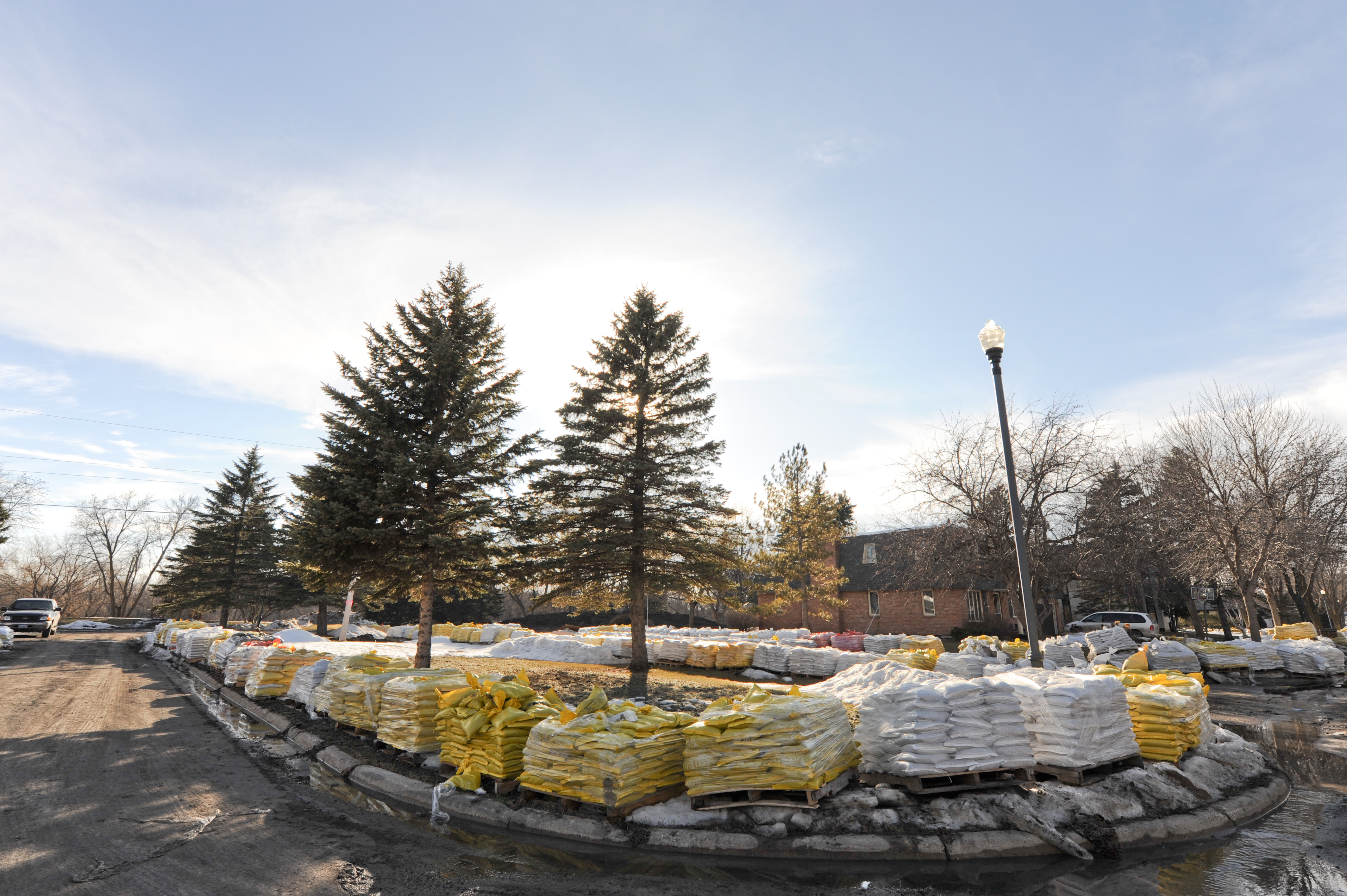
The city’s Nov. 6 storm preparedness update lists four open sandbag filling stations:
- Rinconada Tennis Courts, at Newell Road and Hopkins Avenue
- Mitchell Park, 600 E. Meadow Drive
- Palo Alto Airport Terminal, 1925 Embarcadero Road
- Johnson Park, at Waverley Street and Everett Avenue
City staff said sandbags work best when filled about one-third of the way with sand.
The city also urged residents to secure outdoor furniture and keep storm drain inlets clear. Remove leaves from grates and put them in green bins rather than pushing them into drains.
Infrastructure and emergency staging
City staff said they plan to stage an excavator at Pope/Chaucer Bridge for the storm season, as in previous years, to allow a quick response if needed. Contractors on call have been alerted to support emergency response, and barricades will be pre-positioned for possible street closures.
City Manager Ed Shikada shared information about the city’s emergency alert system test in a weekly update published Nov. 10.
Residents can monitor creek levels through the city’s Creek Cam webpage and track storm conditions on its Storm Update webpage. The NWS advises drivers to respect barricades and avoid entering water of unknown depth.