The National Weather Service says a coastal flood advisory for San Francisco Bay shorelines, including Palo Alto’s bayfront, remains in effect through 4 p.m. Friday, Nov. 13.
The advisory, updated Monday, Nov. 9, at 12:13 p.m. Pacific time, warns that tidal flooding could leave water as much as 1.6 feet deep in vulnerable low-lying areas beside the shoreline and tidal waterways. The advisory covers bayshore locations along San Francisco Bay and San Pablo Bay.
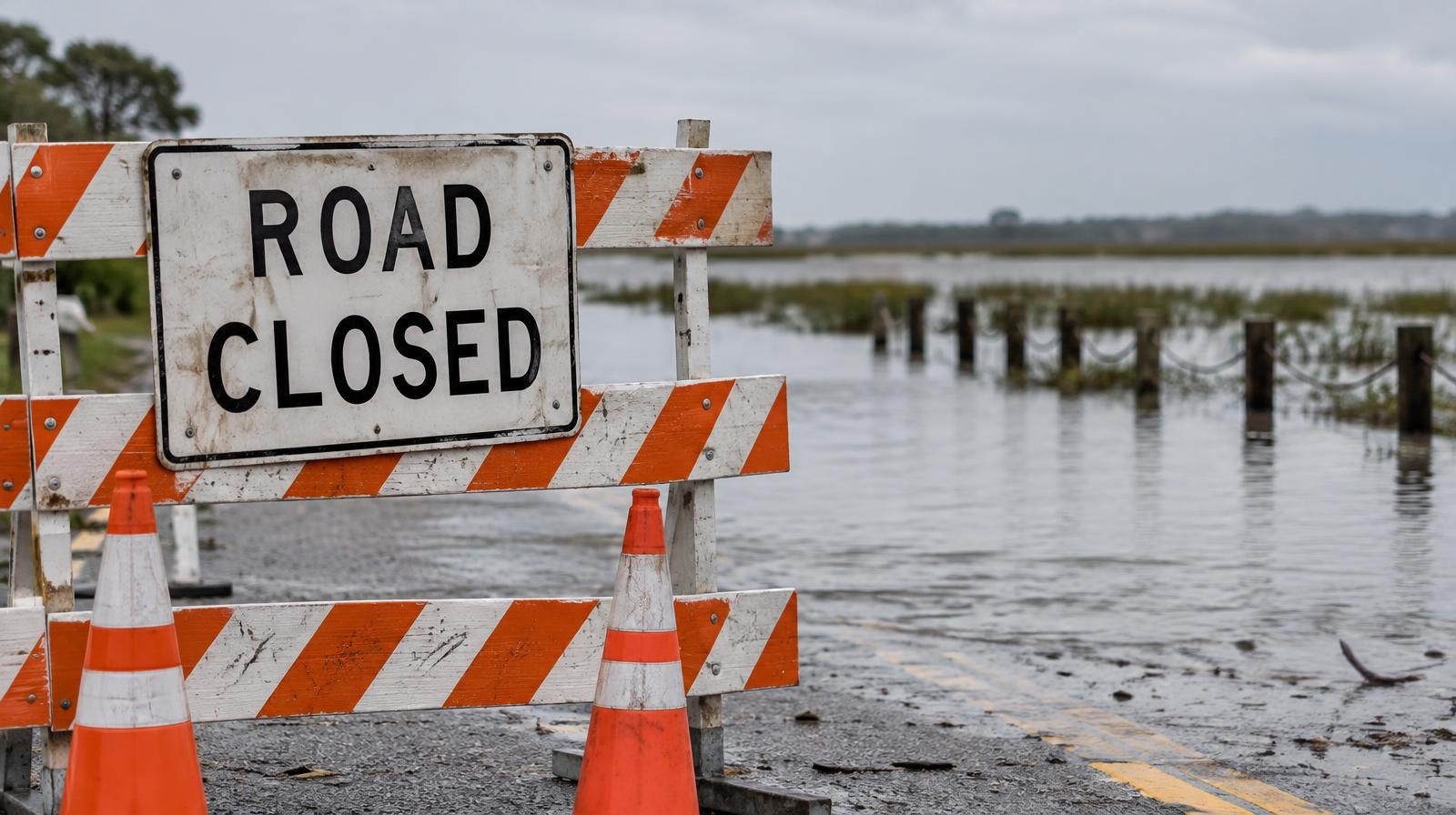
The NWS San Francisco office said high tides could flood low-lying infrastructure, cause isolated road closures and accelerate coastal erosion. It also warned that advancing water could cut off routes out of beaches and coastal areas.
At the San Francisco tide gauge, the NWS expects high tide to reach 1.5 feet above normal at 11:04 a.m. Tuesday, Nov. 10, and remain elevated through the week. By Friday, Nov. 13, the forecast calls for tides 1.1 feet above normal at 12:49 p.m. The predictions already incorporate up to 1.4 feet of surge in addition to the astronomical tide; that surge should not be added again to the forecast levels.
These times are for San Francisco. High tide can occur up to 90 minutes later elsewhere in the bay, the NWS said.
The NWS urges travelers to plan for delays, obey road barriers and avoid driving into water when its depth is unclear. It also recommends preparing property vulnerable to flooding.
During a separate September advisory, Palo Alto Online reported that the Palo Alto Baylands Nature Preserve was among the areas where bay water could spill over coastal trails and properties at high tide.
The city has sandbag filling stations open at Rinconada Tennis Courts, Mitchell Park, Palo Alto Airport Terminal and Johnson Park, according to its storm preparedness resources. The city recommends filling sandbags about one-third full for best effectiveness.
Residents can monitor conditions on the city’s storm update webpage and report nonemergency issues through Palo Alto 311.