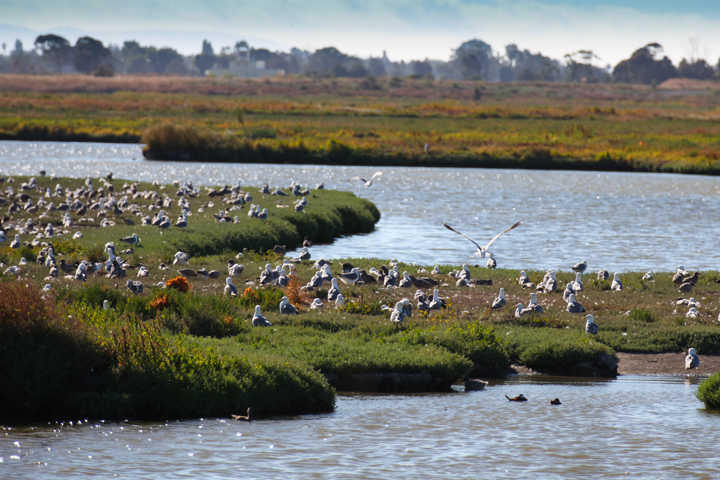
A 500-foot stretch of the Palo Alto Baylands shoreline is getting a new kind of flood defense: a gently sloped, plant-covered embankment that doubles as wildlife habitat and a water-filtration system.
The $7 million horizontal levee pilot project, seeded with more than 35 species of native plants, is the first in the Bay Area to be hydrologically connected to San Francisco Bay. Underground plumbing links the levee to the city's Regional Water Quality Control Plant (RWQCP) across the street, allowing 100,000 gallons of treated wastewater per day to irrigate the slope. As the water passes through soil, gravel and root systems, the plants strip nitrogen before it filters into the Bay.
"When you look at levees that are along the bay front, a lot of times they've got really steep faces and big, huge rocks in front of them to protect them from wind waves," Mark Lindley, lead engineer on the project, told Grist in an article published Tuesday, Aug. 11. "By having this flat, gradual slope with really dense vegetation on it instead of having rock, the waves break on that slope like they do on a beach."
The project began in 2018 and was confirmed under construction in November 2025, according to the city's climate action blog. It cost $7 million, according to Palo Alto Online.
It's not done yet.
Samantha Engelage, senior engineer for the city, told Grist that complexities in connecting the plumbing from the treatment plant to the levee have caused delays. No target completion date has been announced. Still, the levee's gentle slope is already acting as a flood break.
The pilot is small relative to the Baylands' total shoreline and does not provide the full flood protection the preserve will eventually need. Sea levels in the Bay Area are projected to rise 3 to 6 feet by 2100. Lindley warned that within 20 years, areas flooded only during king tides will be underwater at every normal high tide.
The restored habitat is expected to benefit the salt-marsh harvest mouse, a cinnamon-colored endangered rodent small enough to fit in a palm. Wildlife biologist Katie Smith called the levee the "optimal potential option for salt-marsh harvest mice," noting that just a couple of severe storm events can wipe out a local population.
Over the next five years, researchers from the U.S. Geological Survey, universities and local nonprofits will monitor the site's effects on biodiversity, water quality and recreational use. The data is meant to help justify the higher costs often associated with green infrastructure over traditional concrete-and-rock flood walls.
The city's project page describes the levee as combining flood control, habitat restoration and water quality improvement to adapt to climate change and sea level rise. About a dozen similar projects are now in various stages around the Bay, but Palo Alto's remains the only one with a direct wastewater connection.
The RWQCP treats 20 million gallons of wastewater daily. The levee's 100,000-gallon share is a fraction of that flow, but the nitrogen removal it provides goes beyond what regulations require.