More than 130 Palo Alto homes sit in a wildfire-risk zone as Santa Clara County reports 11 fires since May.
The county's fire data and a federal El Niño forecast were the focus of two presentations at the Emergency Operational Area Council meeting Thursday, Aug. 27, in San Jose. Bill Murphy, assistant chief of operations for the Santa Clara County Fire Department, was scheduled to deliver the wildfire outlook, and Lamont Bain, science and operations officer for the National Weather Service's Bay Area and Monterey office, was set to present the winter forecast. Dana Reed, director of emergency management, submitted both reports to the council ahead of the meeting.
Palo Alto's exposure
The city's wildland-urban interface stretches west of Foothills Expressway to the city limits, covering Foothills Nature Preserve and Pearson-Arastradero Preserve. In 2024, the Palo Alto Fire Department and Santa Clara County Fire Safe Council installed N5 ground-based sensors in the interface to detect wildfires at the earliest stage, according to the city's Community Wildfire Protection Plan. Live wildfire cameras cover Black Mountain, Montebello Reservoir, Foothills Park, the Stanford Dish and Jasper Ridge.
Fire season so far
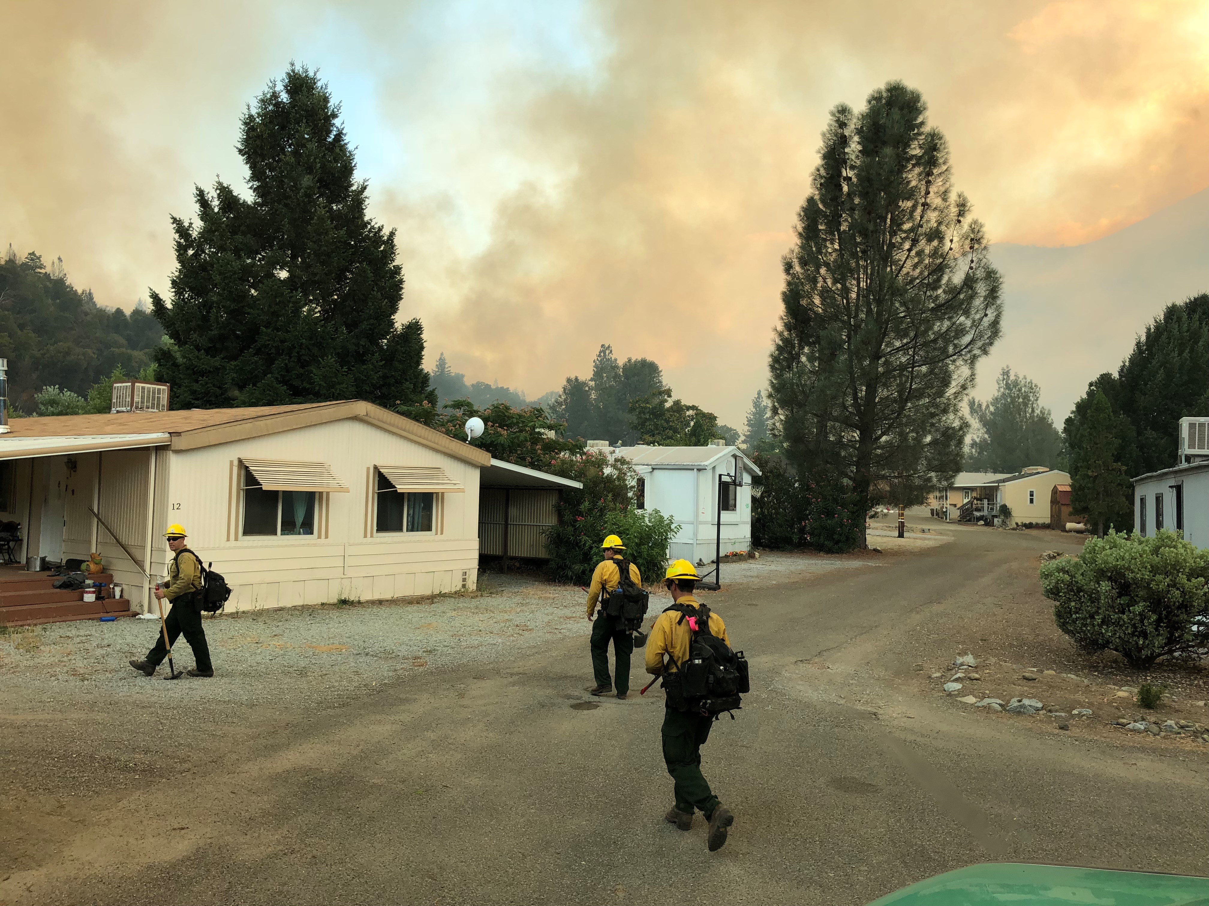
The county fire department's agenda report listed fires growing steadily through the summer. The 282-acre Mines Fire in July, handled by CAL FIRE, was the largest. A 72-acre blaze called the Lover Fire also burned in July under dual jurisdiction.
August brought the 32-acre Malech Fire.
The department noted that fire activity climbed as temperatures rose in July. As of Aug. 17, the county had five fire engines deployed in strike team configuration and 16 additional firefighters supporting incidents in California, Idaho, Oregon and Washington.
What the forecasts say
The Wildfire Forecast and Threat Intelligence Integration Center projected "fluctuating weather patterns" through November in an Aug. 1 outlook. The center expects significant fire potential to drop to normal levels area-wide by October and November, though it expressed lower confidence in those later projections.
The Climate Prediction Center's Aug. 13 El Niño forecast put the probability of a very strong event above 90% for fall and winter 2026-27. The National Weather Service's seasonal outlook, issued Aug. 20, calls for above-normal precipitation and above-normal temperatures across the California region from November through January.
Bain's prepared remarks cautioned that strong El Niño years have produced mixed results for Northern California rainfall historically, ranging from dry to wet years.
How residents can prepare
Palo Alto residents can sign up for emergency alerts through AlertSCC at AlertSCC.org. Those who do not sign up will not receive alerts. Residents can also look up their evacuation zone at protect.genasys.com, the platform adopted by the Santa Clara County Fire Department.
The council's next regular meeting is scheduled for Nov. 19 at the Sheriff's Auditorium in San Jose.