Palo Alto’s bayshore is under a coastal flood advisory through Tuesday, Oct. 13, with up to 1.4 feet of flooding possible in low-lying shoreline areas.
The National Weather Service advisory began at 9 a.m. Friday, Oct. 9, and remains in effect until 3 p.m. Tuesday. All times are Pacific. The agency warned that parking lots, parks and roads near shorelines and tidal waterways could flood, with isolated road closures expected.
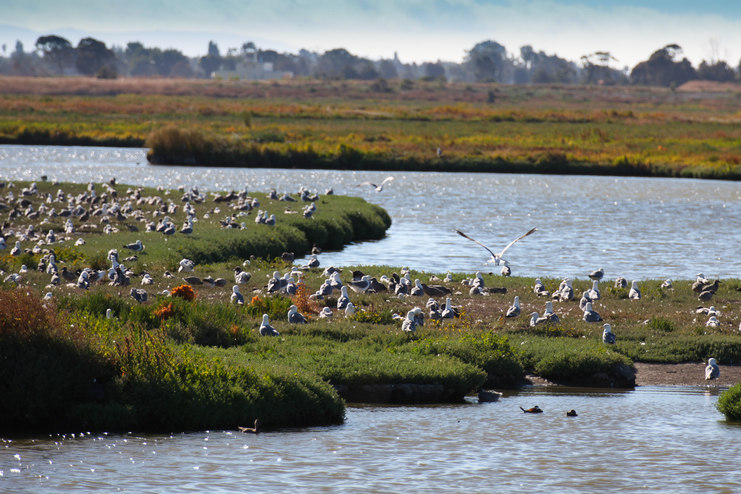
The Baylands sit in the advisory zone.
What to expect
High tides are forecast around midday during the remaining advisory period, according to the NWS. At the San Francisco tidal gauge, readings are forecast at 1.4 feet above normal at 11:50 a.m. Saturday, 1.3 feet at 12:18 p.m. Sunday and 1.2 feet at 12:46 p.m. Monday. Tuesday’s forecast is 1.1 feet above normal at 1:14 p.m.
High tide timing can vary up to 90 minutes later through the bay, the NWS said. The predictions include up to 1.2 feet of surge on top of the astronomical tide. These are San Francisco gauge forecasts, not exact tide times or flooding depths for Palo Alto.
Possible road impacts
The NWS advises drivers to respect barricades and avoid entering floodwater when they cannot judge its depth.
Why tides are running high
El Niño-warmed seas are pushing Bay Area tides well above normal this fall. NWS Bay Area meteorologist Dylan Flynn told SFGATE on Oct. 7 that “the tides are a foot higher than they’re supposed to be.”
The San Francisco Chronicle reported that unusually elevated tides could persist into spring. Depending on the definition used, San Francisco could experience about 30 king tides this winter, compared with about 10 typically.
How to stay informed
Residents can sign up for AlertSCC, Santa Clara County’s emergency notification system, for flood updates.
Palo Alto also shares weather and safety information on its storm updates page and through the Palo Alto Police Department’s Nixle feed.